Showing posts with label porterbrook. Show all posts

Friday, 15 November 2013

Velocity of the Porterbrook

So we set out today to measure the velocity of the Porterbrook.  According to the Geography site - helpfully pointed to by google, they suggested some simple methods for measuring Velocity using an orange as a float,a nd measuring the side of the river and doing some simple calculations  So that is just what we did.

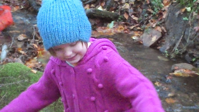
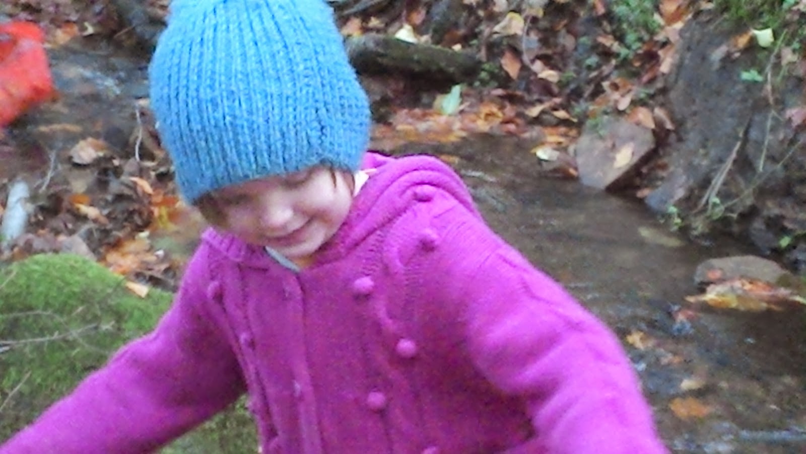
We went to the place  we were at last friday whilst taking sound samples, and set about our experiment.  


  1. Set out our tape measure along the length of the river for 5 metres (the instructions were 10 metres, but as the area was pretty rocky, I felt that there was a large margin for error with greater length.)
  2. Asked Autumn to sit at the furthest downstream ready to shout STOP when the orange passed her
  3. Asked Evan to drop the orange a little further upstream from the start point to give it chance to go with the current.
  4. Asked Evan to shout NOW when the orange passed the starting point.
  5. I timed this.
  6. we repeated it, and tabulated our results 5 times.


Here is the first spot we used.


The results are here
1    25 seconds
2    34 seconds
3    42 seconds
4    45 seconds
5    23 seconds
Average  33.8 seconds    SPEED = 14.8 cm per second (cm/s)

Then we made a few measurements of width and depth at various points along the length, and also the deepest and shallowest points, and widest and narrowest points.

We moved further downstream and found ourselves doing it all over again.

After a few tries we realised that the results were getting unnaturally skewed and not representing the velocity of the river, rather the length of time the orange took to travel that distance, which varied according to whether it got caught in an eddy, or pushed down by a mini waterfall, or got sucked back because of a waterfall, or simply got stuck on a rock as it was very shallow at points.  So I changed how I was working,and paused the timer each time it paused due to one of these circumstances, allowing a more accurate measurement of actual velocity of the flow of the river.

Here are our Second set of results
1   17s
2   18s
3   28s
4   26s
5   17s
6   15s
7   25s
8   14s
I took just the results where I had been mindful of stoppages - in bold
Average = 17.67s
SPEED = 28cm/s

And finally, now that our methodology was improved, we moved downstream and did another set of experiments.

Results
1  19s
2  15s 
3  18s
4  18s 
5  18s
Average = 17.6 seconds
SPEED = 28.4cm/s


Average Time = 23 seconds
Velocity = Distance / Time  = 500cm / 23s = 21.7cm/s

Variance in Depth = 13cm   Shallowest = 2cm Deepest 15cm 
Variance in Width = 144cm Widest = 180cm  Narrowest =36cm

After this last video we decided to let the orange travel further and follow it.  This was fun, and it did get stuck a few times along the way, and unfortunately we lost track of it a bit as the terrain was a bit complex alongside the river.  This took us to a little spot where Evan wanted to make changes to the flow of the river by opening bits up and daming other bits.  Autumn got involved, and they had an awesome time, until the dark began to creep in and it was time to go home.


Another lovely River project day. :)


Wednesday, 30 October 2013

Nearly made it to the sea

It was a lovely bright Autumn day,  and we wiggled our way,  as much as possible besides the river as far as we could.  We used the star facility on Google maps to plan our trip,  so we could take in salient points as we travelled down the river.  It was handy taking in street view to assess access to  the river where the road was close to it. 

We began with the river right next to Snuff Mill, along frog walk.  The last time we saw this river was in Bingham Park when we visited the Shepherds wheel at the weekend. It was great to see it making a natural path through ghetto landscape,  to be honest I was shocked how much of this particular river has been manipulated by humans for our own ends.   Next we popped along to Summerfield road near to Waitrose,  behind the old brewery,  where the river is contained in a brick fortress.  Natural river features appear to have been stripped the lack of tow path and headroom under the bridge,  the small weir,  are the only features that set it apart from a canal.  This was the last we saw of the river Porter before it slipped beneath the road in pipes,  the next we saw of this body of aster it had merged with the Don. 
Here we are looking over  the Don,  this was the only section of  the river  we could literally step out if the 
car and look at, the river.  It was great to see it in such powerful, full state, and notice the fact that the river often accompanied Industrial parts of towns, this was noted in Rotherham and Doncaster as well as Goole.
Next stop was right in the heart of an industrial Estate, and showed part of the Lower Don Valley Walk - so Picturesque, and amazing contrast with the heavy Steelworks, as well as this beautiful boulevard besides the River.


Further along, past Meadowhall, before we got to Magna, we had a not so quick, unplanned stop at a place where a canal and the River Don sat side by side, and the overflow of the Canal dropped directly into the Don.  The kids had loads of fun playing with the locks here, demonstrating their strength!


We left it a little while till the next stop, but this one was near to Wentworth, and demonstrated the awesome power of the river.  The first view is from the road bridge, the second is from the bank that you can see in that picture, seeing the torrent in all its glory.


The next stop was another Canal and River stop - this time - near Stainforth. Many of these stretches of river had been very managed to service the infrastructure of the landlocked towns such as Doncaster, Rotherham and Sheffield.  This was the last stop with the Don, but we did cross it a few more times before it met the River Ouse, which comes from the North.

Here is the river meadering its way to us.
Here it is on the path we were yet to take.
This was a great crossing over a huge amount of wetlands and river - it had flood barriers on the entrance to the bridge.

Here we are speeding across the Don for the last time on the M62.  
Next we were at Goole, where the river Don has been totally manipulated and straightened out to be a "Dutch River".  We visited the Waterways Museum whilst we were here in the heart of the docks and Marina, for a slice of life in a Marina town.  Heavy industry, ports and docks litter this town, with cranes aplenty.
The day was nearly done by now, but we didn't feel our journey was over, so we headed to the Humber Bridge to view that spectular sight and vista across the water.
A very enjoyable day, and extremely great way to really kick our project off with a bang.  A bit disappointed we didn't make it to the sea, but we were all pretty tired after our epic journey and adventures.

The next day, we finished off this section of the project with a trip to Kelham Island Museum where we talked about the flood of 2007, and the fact the museum is where there used to be lots of industry which used the waterways as an essential part of the process.  These pictures are of the Don at this point. 


Friday, 25 October 2013

The source of the river project

Evan asked to take the wooden boat that we have to float, so off we went to Milhouses this week - the pond was a bit lack lustre as there was very little wind, and as Evan identified it needed a sail, which we didn't have.  We decided to take it on the river (not the fast flowing part, but the bit alongside the playpark)


Here we go.


Nice and steady, ready for a real whoosh.


With friends later on in the week they explored how a river forms using sand and water (after doing their own version of this in soil at the bottom of the garden)


Here is what happens when it floods!


Inspired by the vocabulary and interest in this I decided that we should investigate a local river, so we started by watching this video this afternoon.


I mentioned that we used to live near to the source of a local River, and that it too begins with the moorland.  I suggested that we could go on an exploration of it this afternoon, so we finished up our breadmaking and gathered our explorer bags, grabbers, fishing nets, wellies etc, local map and compass and headed up to Ringinglow to find the source of the Porterbrook.  Looking at the OS map we saw that the close footpath should meet up with the source so we set off to try that.  It was extremely muddy, as we have had a load of rain in the last week or so, but as we had our wellies this was planned for and absolutely fine.

This was the bit the map told us the source was, but, clearly, that is not it!

We followed this up, unfortunately it was blocked off by the fence, but we did get to follow it despite that, watching its busy journey towards us.  We kept going right the way up to near to the farmhouse you can see in the distance, where we believe the source is, under the ground of the field.  

This hole is the very first visible part of the river, as far as we could tell, as the field beyond this wall had no part of the river, it seems it had been piped underground.  A tinge of disappointment, but a later conversation when Pat returned home, settled our minds that really we probably had found the source.


Some lovely mushrooms on our journey.


This is beyond the road back where we started where a waterfall breaks the Porterbrooks neck (so to speak) 


The kids used the fishing nets we'd brought to see if they could catch anything, or at least feel the force of the river.


To the side of the path is more tributory of the river, coming directly off the moors.  This is always dripping, even when there hasn't been rain in ages.  It is my belief, but I would love to be corrected, that the water coming through is water filetered off the moors over a long time.  Here is Autumn collecting the water to helpfully place into the river manually, to save it the job!


Evan uses his new grabber to hold the bucket over the river to pick up foam.


More grabber / bucket action.


Having now explored the Upper course will continue this project no doubt with further trips to the Porterbrook to discover its delights on the middle and lower courses.  We'll be using this fabulous Wiki page as our guide I imagine... I'm looking forward to the Shephards Wheel. 


Looks like it is open at the weekends 10-4.  Must decide on a good day to go soon.

Here is a video of the Source of the Amazon, can't wait to show the kids.